
October trailed is damp fingers on into early November, the slow march to winter seemingly halted by a band of warm, wet weather.
Crisp and bright days seemed but an imagination, as I stared out the office window across the aptly named ‘Auld Grey Town’ of Kendal.
Thankfully, as I refreshed the MetOffice website for what felt like the umpteenth time that week, I spotted a break in the weather approaching – a little ball of sun amongst the grey clouds.
I decided to take the gamble and trust the forecast, and booked a day-and-a-half off.
Then came the task of deciding where to go. Part of me considered staying close to home and testing out my new bike on some familiar roads with a cheeky overnight stop. Though, my Lakes and Dales Loop didn’t feel long enough ago, and I wanted to go somewhere I wouldn’t normally. I also wanted to stay in a bothy, having not done so since mid-winter of 2019.
The Scottish Borders is a massively untapped place for me. Despite living in Scotland for the best part of 25 years, I have spent little time there bar a few trips to Innerleithen, primarily to visit No.1 Cafe (and friends, I suppose).
The Borders is a place rich in history. It was a contested and violent place, home to the Border Reivers and fought over by factions on either side of the border, making this place the ‘Debatable Lands’. Robert the Bruce’s family hail from here, with Annandale rich in his trial for the Scottish crown.
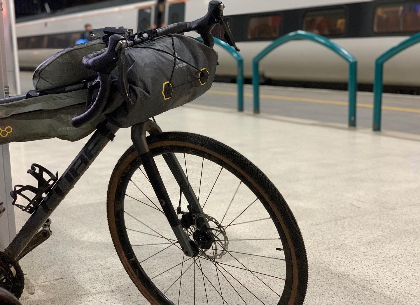
After a lot of umming and ahing, I settled on a 200km bikepacking route to explore this place that was just a short train journey away. I booked a £9 return from Oxenholme to Carlisle, leaving my laptop at midday and stepping out onto a chilly platform at 1pm.
The forecast was right: It was lovely. Steam billowed from the trains and my nose as I steeled myself for the trial that is getting out of Carlisle, reminded of this purgatory from my Journey for Wildness.
Once through the chaos of lanes, light, trucks and zero bike lanes, I had one last artificial challenge to overcome, which was a short section of the A7 to Longtown.
In the daylight, it isn’t too bad, and given it was before any kind of rush hour I had little problems. As we shall see, though, that was not repeated on the return journey.
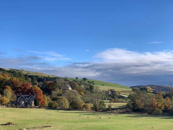
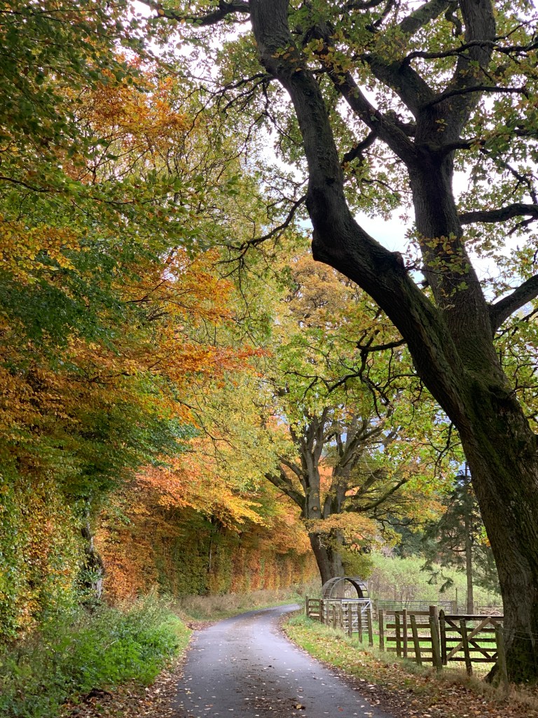
Once into Longtown, I turned off onto the back country lanes, leaving behind the high pylons and industrial skyline of Carlisle. It being early November, the air was clear and the sun low on the horizon, casting oranges across orange leaves.
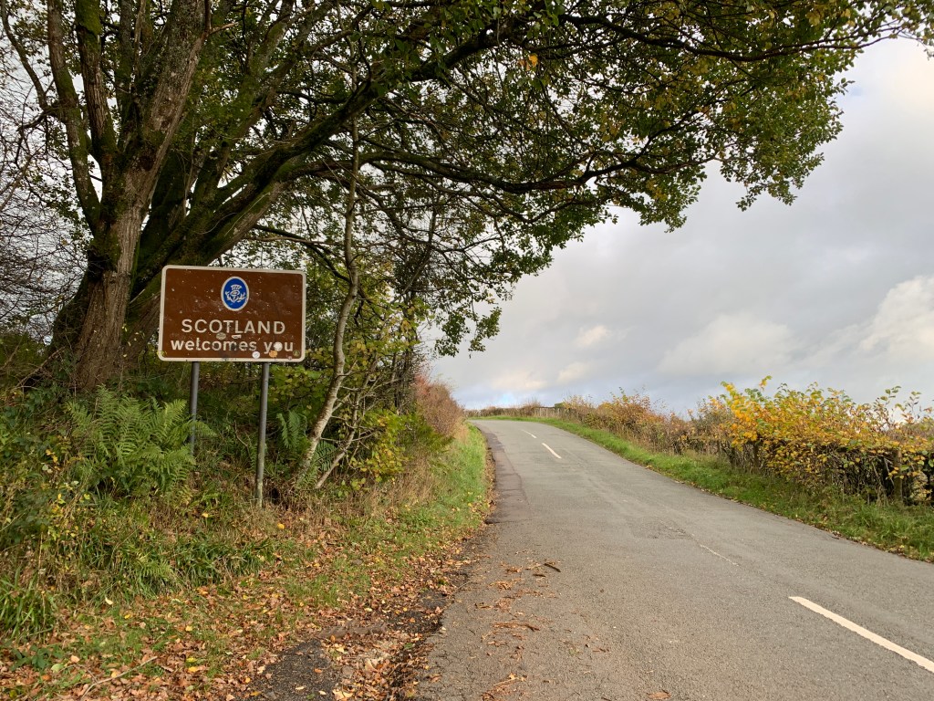
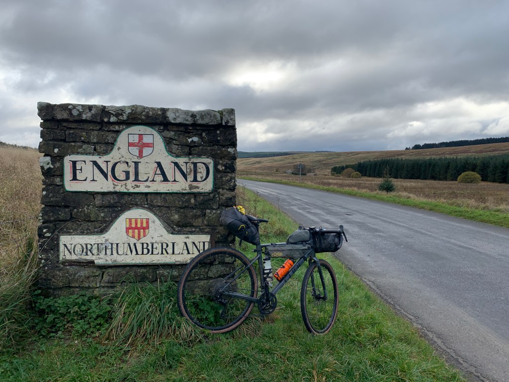
My first checkpoint was Langholm, where I was to meet up with my colleague Kevin, who also spearheaded the campaign for the Langholm Community Buyout. Crossing the border for the first time of the trip, I followed the undulating roads to the textile town.
My first sign I was near Langholm was the tall monument and mast that sits on Whita Hill above the town. The moor itself is a brooding beast, its peated slopes dark compared with the other nearby bumps.
I had to be careful not to become too distracted, though. The lanes are narrow and often have tractors trundling down them. The autumn leaves, gorgeous in the trees, were a lethal obstacle on some of the tight bends, with a few butt-clenching moments as I zoomed round a bend with leaf litter scattered on the tarmac.
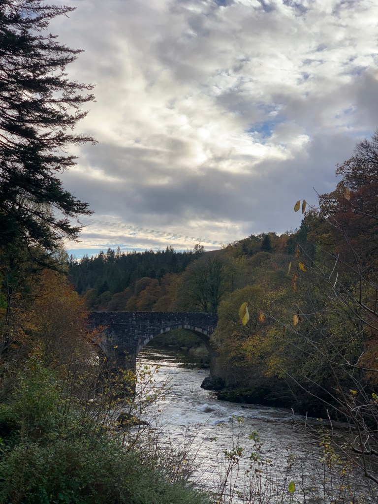
I passed the lovely arched bridge that spans the River Esk before the Muckle Toon, and set about locating the Langholm Initiative offices. Over a cup of tea, Kevin Cumming told me the story of this seemingly modest town.
You know Edinburgh Woollen Mill? That was once Langholm Woollen Mill. But the town’s textile lineage did not end there: several high-profile brands continue to make use of the town’s expertise in clothes-making.
Langholm is also the home of the Armstrongs and none other than Neil Armstrong of lunar fame was the first freeman and Burgess of the burgh. Poet and writer Hugh MacDiarmid is another son of the town, while Scottish engineer Thomas Telford hails from nearby Glendinning.
Kevin indicated to the map spread out on the large table, with a portion in red. This was the area the Langholm community had recently purchased from the Duke of Buccleuch. He produced a second map, showing the area the community wishes to purchase to extend the potential ecological restoration and economic boon for its people and nature.
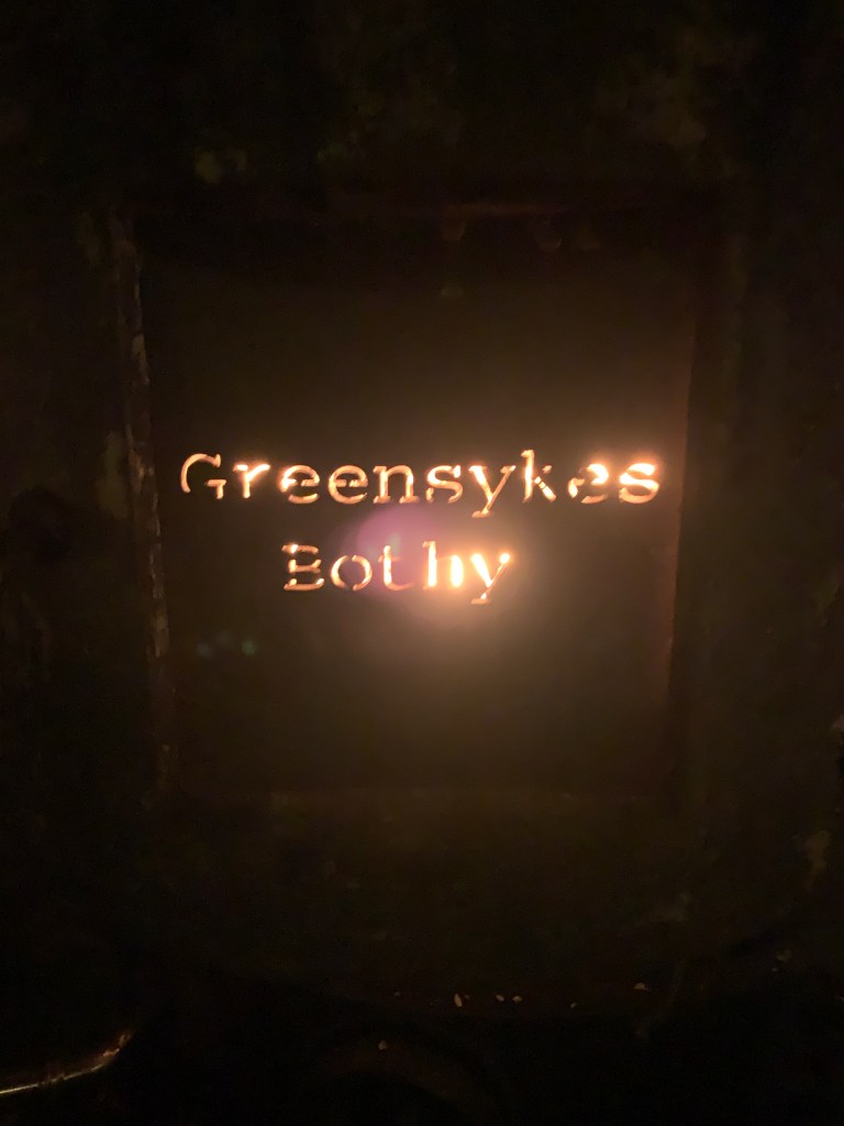
After a natter with the Langholm Initiative team and a brew, I hopped back on the bike in search of my accommodation for the night. The Greensykes Bothy has sadly gained a bit of a reputation locally for trouble. According to the Mountain Bothies Association website, police now visit the area to make sure the residents aren’t harassed by visiting hooligans.
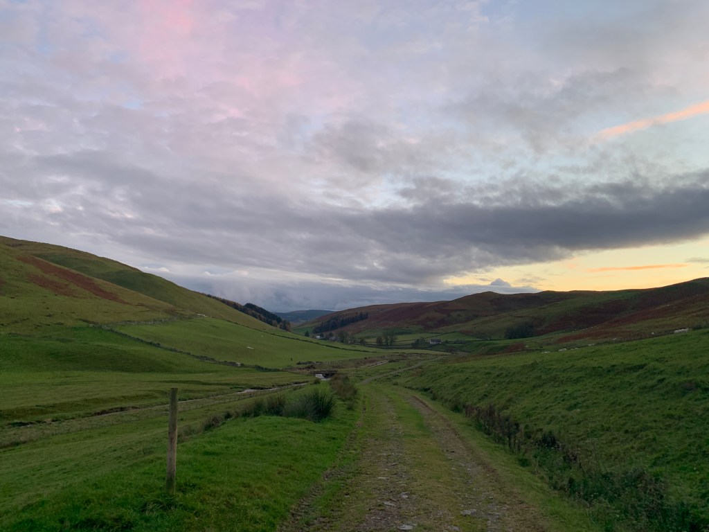
As I followed the River Esk, I passed through the town of Bentpath before crossing a bridge to head up the glen to Jamestown and Glendinning. The sun had now lowered behind a forested hill behind me, and I made my way up a single-track road with sheep as my main company.
The road comes to an end at Glendinning. It is incredible that here, this tiny cluster of houses, was the birthplace of one of Scotland’s most influential engineers – maybe even Britain’s! I read the little notice dedicated to Thomas Telford, who designed roads across Scotland and who is well-known for his engineering of the transformational Caledonian Canal.
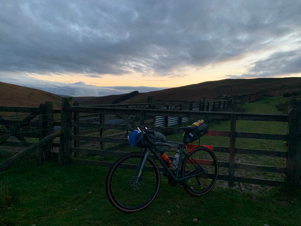
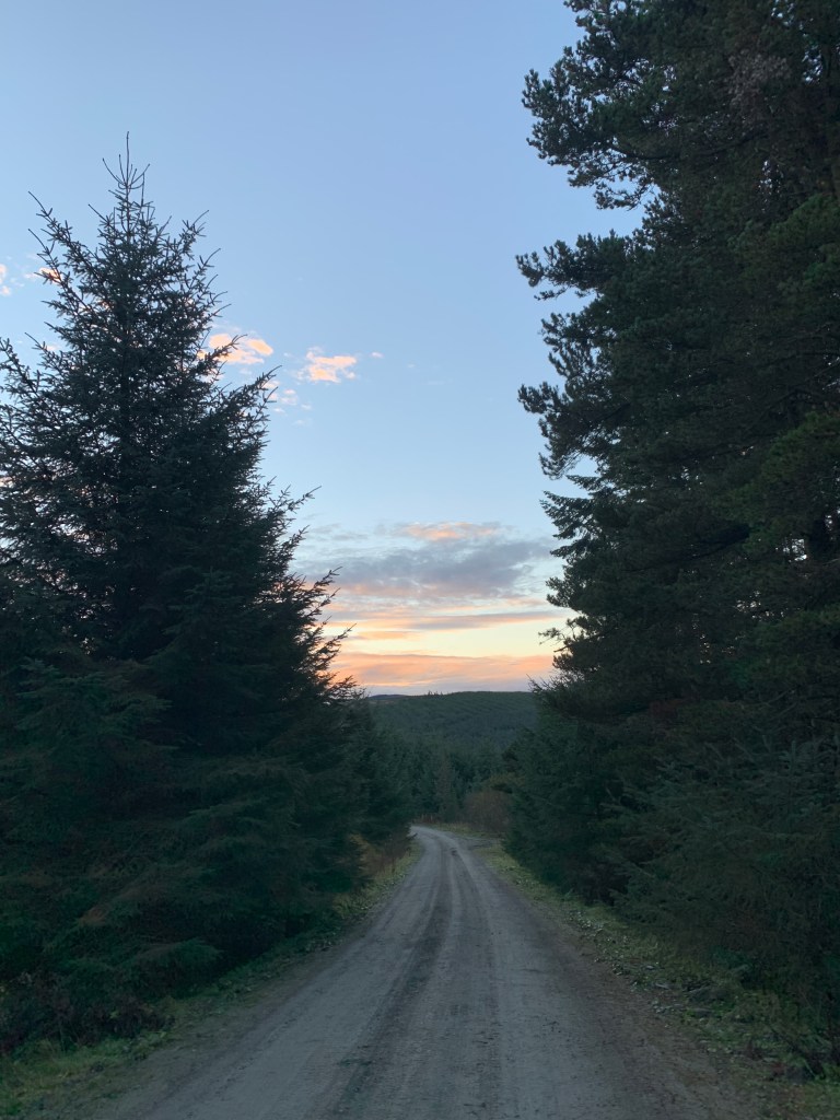
This is where most park their cars for the bothy. I can see how it must be a problem, with people’s homes right next to it. The road becomes a gravel-cum-grassy track, which steepens at points to climb higher above the glen. The sun was well and truly down now, as I made my way along with my bike lights showing the way.
For a while I was unsure I’d ever find the bothy. After a few miles, though, I spotted a slate roofed building by the river – home for the night!
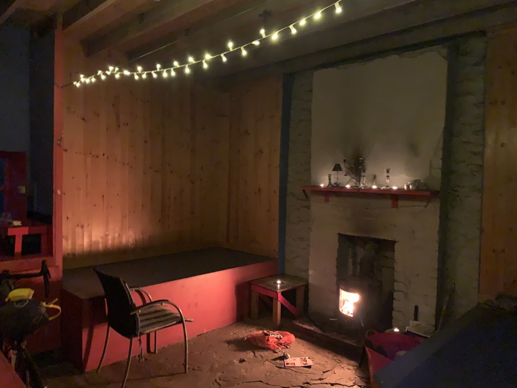
I had been worried about sleeping in a cold, dark bothy tonight, but, I needn’t have worried. As I entered, a warm air touched my face and, after looking around, I found some fairy lights strung above the main living room. It was incredibly well maintained, and I imagine pretty well insulated.
With food in my belly, a fire going and candles lit, I settled down to a full five hours of reading Andrew Painting’s Regeneration: The Rescue of a Wild Land. I had the bothy completely to myself, which seemed rare given the entries in the book.
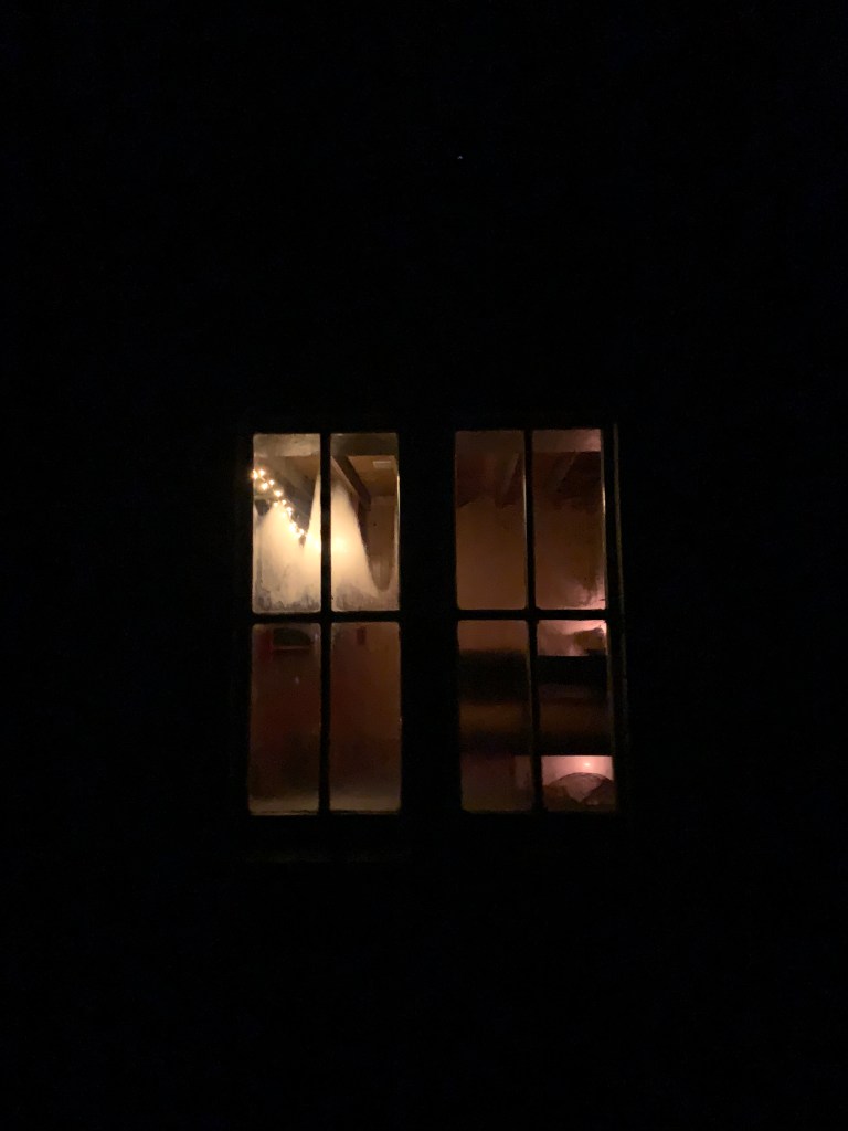

I often say, if it wasn’t for the calls of nature in the middle of the night, I would never get to experience the stunning night sky in our wilder places. I left the bothy half awake and stared awestruck at the clear sky above. It was utterly baltic and utterly beautiful in equal measure. The whole sky was awash with stars. It was a real treat.
I slept like a log. Though I had only covered 60km in the first day, the whole business of getting there had left me exhausted. That, and reading for an entire evening does get you ready for a good sleep, I find.
Leaving the bothy at 7am, I set off on one of my longest days spent off-road. My aim was to reach the Roman and Reivers Route (RRR) that connects Eskdalemuir to Hawick. Once I reached that, I felt pretty sure it’d be a clear ride to Hawick.
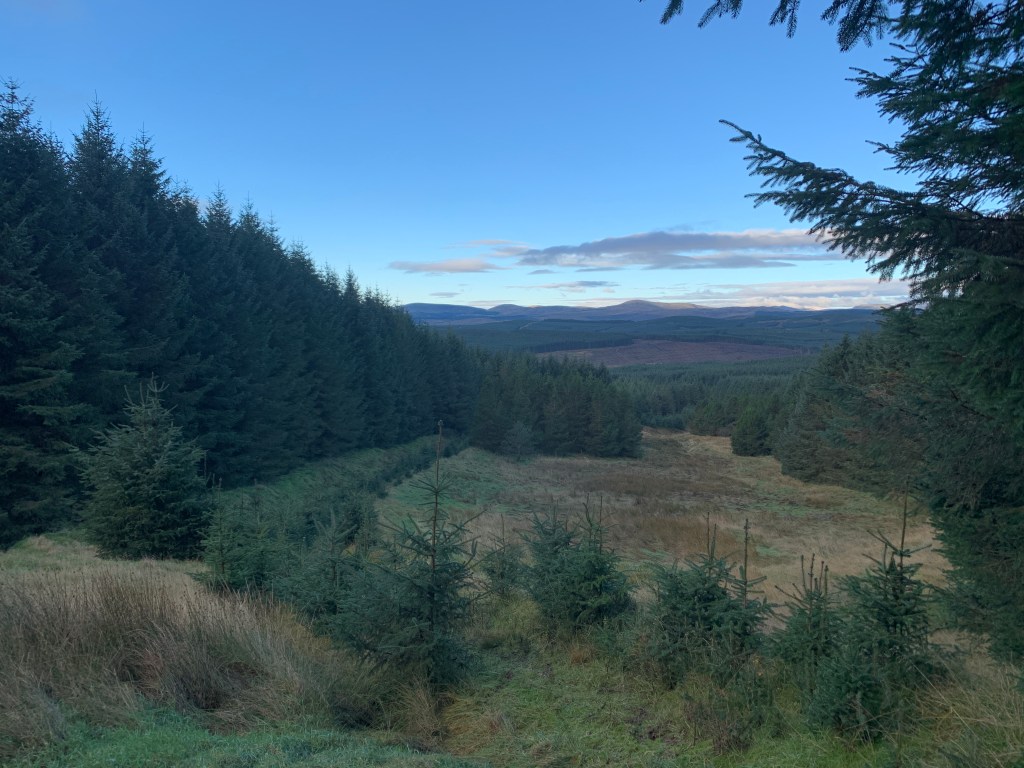
I am not a fan of plantations. I think my childhood has left me scarred, with what feels like days of my life spent wandering around them half-lost most of the time. They do, however, contain possibly my favourite bird: the jay.
Jays are known as forest-makers, with the story going that they drop acorns and create the oak woodlands in which they are often found. The Woodland Trust calls them a “highly intelligent loudmouth” (people who know me can make their own conclusions as to why I have an affinity with jays) but their lightning blue colour makes up for their squawking jay-jay call.
After an hour or so riding on some superb gravel roads, I reach the RRR and turned to follow it. My hopes that it’d be dead simple from here faded almost instantly. The “superb gravel” gave way to a slightly muddy fire road, which became a quad bike trail, which became a quad bike trail with encroaching pine trees, which became a path, which finally become…nothing.
After persisting until the end, I got off and pushed through the grass and up to a clearing. Huffing and puffing after shoving a bike laden with kit up the hill, I made the last effort up to Craik Cross Hill, an old watch tower.
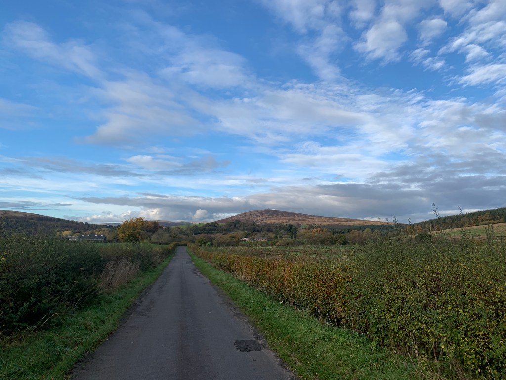
The weather was very lazy that morning. The sun wasn’t quite penetrating the clouds, but the clouds weren’t making much effort to conceal it. The gravel roads returned as soon as I started to descend, all the way down to the town of Craik itself.

By now it was 9.30am and I had covered just over 30km, which wasn’t too bad considering the terrain. I was back on tarmac, skimming through the shallow glen to Roberton and then on to Hawick.
Home of the ‘Hawick Gill’ and the tradition of Common Riding, Hawick is another town with its roots in textiles, particularly cashmere from what I remembered. It was also the spot I decided to take a pitstop, pulling up at the Damascus Drum for a (huge) bowl of soup and a toastie.
It was a challenge to leave the warmth of that Middle Eastern-inspired cafe. Outside, the air was frigid, and I even wore my down jacket for the short cycle through the streets. Instantly, it was off again, though, for out of Hawick is a superbly steep hill that acts as purgatory for the unwitting cafe goer who stuffs their face at its foot.
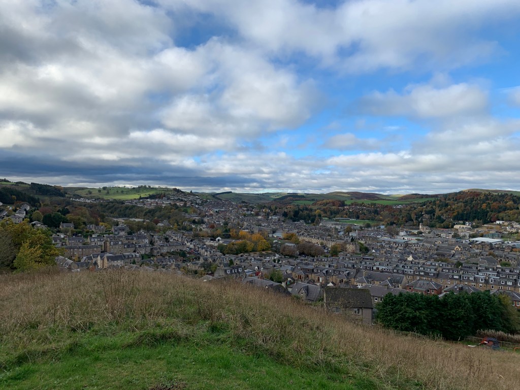
Once I heaved my elevenses, bike and myself up the hill, I got a cracking view over Hawick, which sits in a basin, nestled among the hills, with the River Teviot passing through it.
The next checkpoint was the Kielder Forest, a place I’d heard much about but never visited. To get there, I cycled through the tiny village of Bonchester Bridge, and under some truly stunning trees. With all of its autumn leaves, I really felt like this part of the country was trying to rival Pitlochry and Dunkeld for its marvellous woods.
The rain came as I descended down through the Wauchope Forest on a fast, curving road into a clough on the B6357. I made a hairpin left, following a snaking road towards Kielder.
Whilst sat in the Damascus Drum, the waitress said, “Aw! I love Kielder Forest.” I have heard many say that, with it becoming a popular spot for runners and gravel cyclists. Not that I wish to pass judgement on such a fleeting visit, but I was left a little unsure as to its high praise.
For all its massive sign saying ‘Welcome to Kielder Village’, all I had to do was blink and the village was gone. In just under a minute I had breezed through the eerily quiet, forgotten-looking place. Despite it displaying the fuel prices, the petrol station looked oddly abandoned, too.
As I continued on along roads that felt akin to those found in great Canadian forests, I saw hardly anyone or anything. I felt slightly uncomfortable on the wide road, lined with ominous, gloomy pines. Perhaps the place livens up a bit towards the other end of the forest?
I confess, I think my dim view on Kielder is partly down to: 1) A disappointment at the lack of cafes in the area and a sudden desire for a cheese sandwich; 2) What happened next.
I turned off the road onto NCN route 10, which runs through the forest before playing hopscotch along the Scotland-England border. I noticed a couple of signs with small writing on them at the side of the path, but continued on. I was hungry, stopping once or twice to scoff the other two-thirds of my malt loaf.
After following the trail alongside the Lewis Burn for 5km, I came to a junction with a large arrow indicating ‘DIVERSION’. Wonderful – my nightmares of plantations had been realised. A sign in small lettering explained the path ahead was shut Monday to Friday for forestry work.
It handily showed a little OS map, with a short description of the diversion: “Follow the Bloody Bush trail until it turns right to the descent track. Go left and continue around…”
‘Fine’, I thought. ‘I will give you the benefit of the doubt and follow your instructions.’
After over an hour of seemingly never-ending plantation, drizzly rain, dead-ends, downhill mountain bike tracks and zero diversion signage, I gave up on Forestry England’s lacklustre attempt to divert me around the works and returned to the junction. I ploughed through the ‘No Entry’ signage along a mud-choked track, passing stacks of timber and very little in the way of personnel or vehicles.
After 2km of thick, tyre-sucking mud, I was through the works and back on the trail. I felt I had given the diversion my best shot, but given the one diversion sign was the only one to be found, and that every road I followed ended up going nowhere, I felt vindicated in my decision and had no issues.
I enjoyed a thrilling singletrack trail down to the Kershope Burn to begin my border-hopping trail to Kershope Bridge. This section was great – slightly downhill on excellent gravel, with occasional broadleaf woodland breaking up the regiments of Sitka spruce trees.
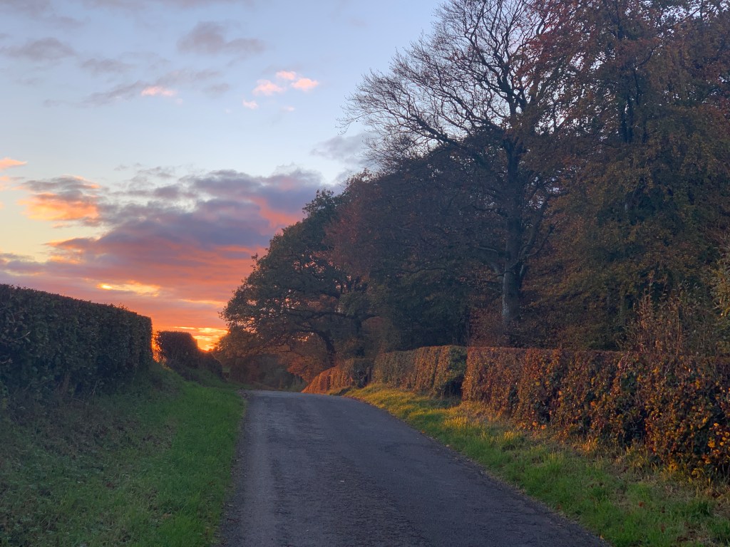
I’d lost a chunk of time and energy roaming around Kielder Forest, so my plans for an extended ride back to Carlisle didn’t seem so appealing. Once I reached Kershope Bridge, I amended my route to return to the roads I had followed the previous day. The sun was back out, but was only just making the effort to cast soft light across the fields.
The quiet lanes and expansive views were mesmerising in the fading daylight. I caught myself gazing sometimes at the extending shadows of the trees that bordered the fields, as the landscape turned bronze.
I had made one other error in planning: I didn’t bring a spare light. Soon, dark was rapidly coming and I had a nasty stretch along the A7 still to go with a dying bike light. I ended up in Longtown at nigh-on 5pm, taking a few minutes to jump into the Spar for that much-needed cheese sandwich and packet of crisps.
I braced myself for the next section. I put on my leg warmers with their reflective POC writing on them and psyched myself up for a tempo effort along the road. After 5km of barreling along in semi-darkness, I managed to hop back off onto the quieter lanes for a break, before returning to the fray just 10 minutes later.
At least there was a pavement this time, so the sketchy situation was made a little less dangerous!
As luck would have it, Carlisle was quiet, awaiting the oncoming of commuters from the M6. My train was not until 7pm, so I had around 90 minutes to relax and – importantly – eat!
As I rounded the bend before the train station, a Nando’s appeared. I find it amusing that, when out for longer endeavours, the brain’s inhibitions seem thrown out the window. Instantly, without hesitation, I set the bike against the railing, grabbed a table, and ordered a chicken burger with fries and a bottomless fro-yo cup. No questions asked.
Since my Journey for Wildness, my conception of distance has altered. Then, I had spent seven days riding usually over 100km each day. As I sat looking at my trace from the day, I had clocked nearly 100 miles, but that didn’t seem as absurd to me as it would have pre-J4W.
With a belly full of food, I hopped on the bike to wheel it the 50m or so into the station. Pulling on all my layers, preparing to sit on the chilly platform for half an hour, I pulled out the Kindle and started reading Regeneration.
Tomorrow, I would be back to the office, but I had managed to capture a full 36 hours to myself, cycled over 200km, slept in a bothy, enjoyed nature and discovered a new place. That’s not bad for 36 hours.
